
Kuklata via ferrata is located in Northwestern Rila mountains, in the vicinity of the Malyovitsa hut. The route starts above the altitude of 2100m.
Summary
Grade: C – view topo
Vertical: 190m ferrata, 600m total
Time: 1h15min approach, 1h15min ferrata, 2h descent, 4h30min total
Access / Parking: 42.2111,23.3871 – Google Maps or any Android maps app
Start via ferrata: 42.1894,23.3710 – Mapy or any Android maps app
Map and photos
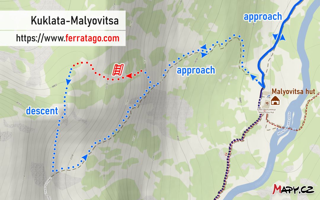
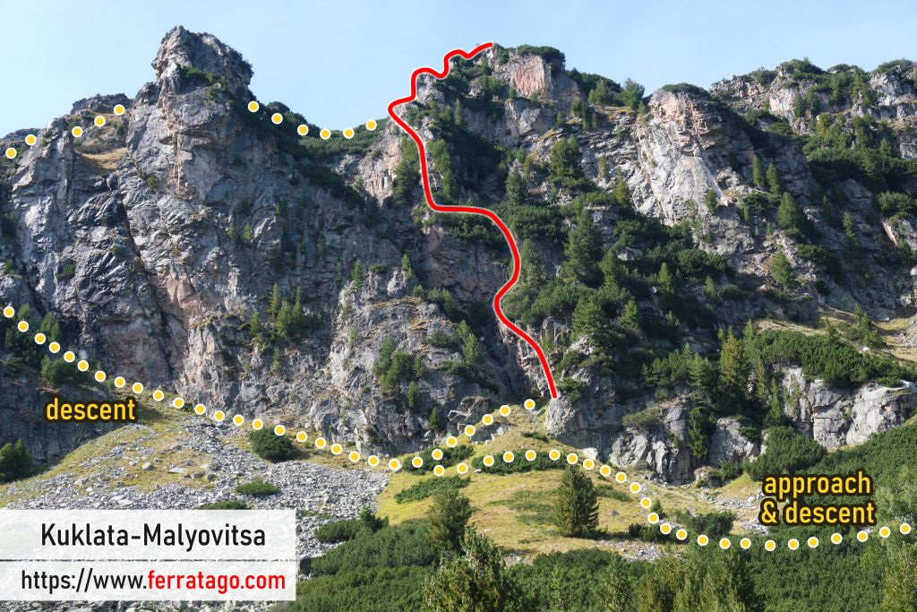
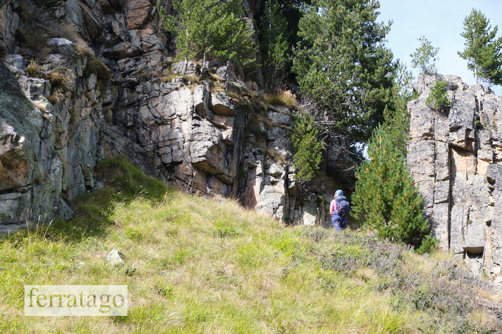
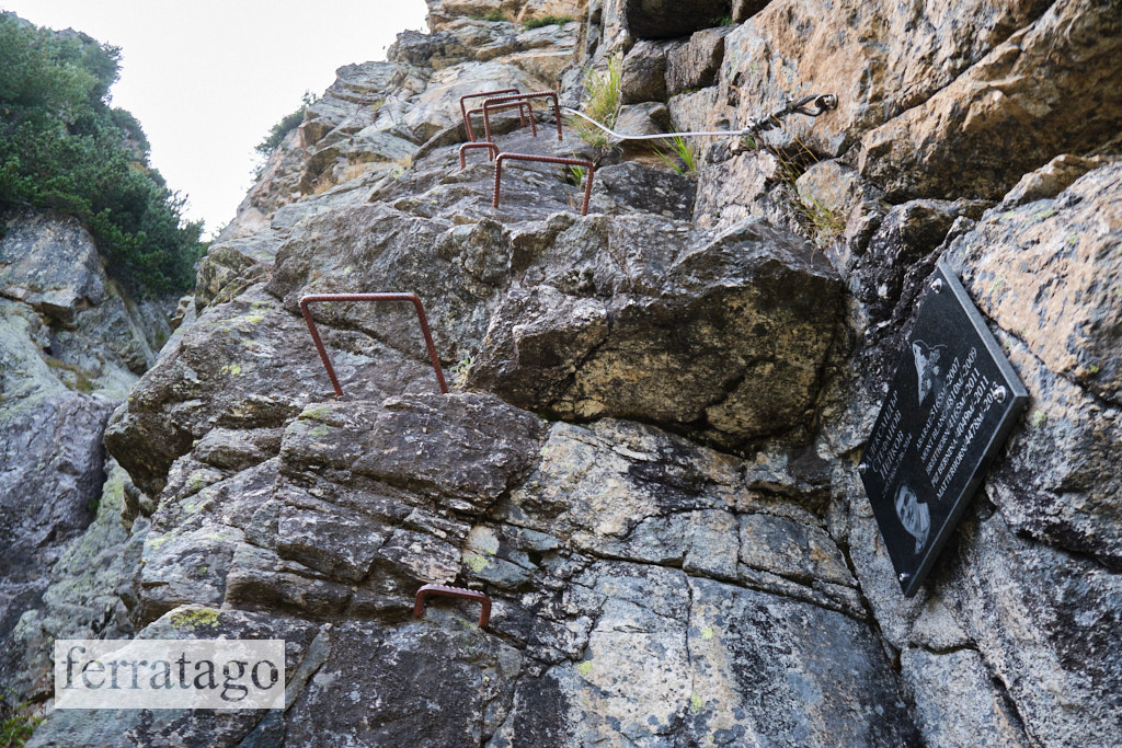
Access
By car, we drive 88 km south of Bulgaria’s capital Sofia, through the town of Samokov, then Govedartsi village and continue until we reach a paid parking lot at Malyovitsa Ski, a small ski resort in Winter and the start of the approach hike.
Approach to start
The first waypoint on the approach is the Malyovitsa hut (1960m). Just before the hut, we notice a big boulder on the right, next to the trail. A clear path starts here and we follow it to the base of the rock walls. This path is occasionally marked with trail markers on rocks. In the Mapy app, the path is visible as an unmarked footpath.
Once above the tree line, the path continues South-southwest towards Malyovitsa peak, but we turn right and stop at the base of one of the imposing rock walls where the via ferrata starts – I marked the cable start GPS coordinates on the spot.
The route
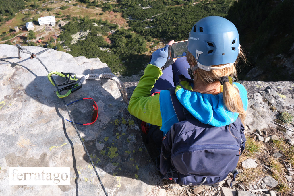
The route goes mostly vertical, with a few short traverses. Most of it is built in French style, with a non tensioned cable and metal brackets, painted brown. The combination of artificial and natural holds make the climb highly enjoyable, while the views downward toward the valley and the hut are rewarding too.
In the upper part, there seems to be a variant of the main route. The main route continues upwards and a secondary cable goes right. Due to lack of time, we couldn’t investigate this vertical variant further, but the cable looked continuous until further up where it rejoins the main route. If you know more about this variant, please leave a comment.
Warning: compared to modern standards, the cable is thinner than 10mm and the way it is attached to the rock is not always standard. Some vertical segments are longer than 3m.
Descent
From the top of the climb, to our left, a South-southwest unmarked path towards Malyovitsa peak is visible. We continue on this path to an intersection. At this intersection we rejoined the original footpath we used for approach, but higher up. From here you can hike upwards and extend the tour to Malyovitsa peak (did not test this ourselves) or hike down and get back to the hut. On the way down it’s best to keep the helmet on, as the path goes near rock walls.
Good to know
- While the parking lot at Malyovitsa Ski has an info board with parking prices, when we climbed this route in early October 2026, there was nobody to collect payment and no alternative ways to pay either. It’s safer to have some cash in case you need to pay.
- I read reports about an accident here in 2022 and the route being closed afterwards.
- I couldn’t find any official info about this route, so proceed with caution.
Donation box
I’m trying to keep this site ad free, supported by donations only via Buy Me a Coffee, PayPal or Bitcoin. Your support is highly appreciated.
Video
Weather
Main sources
- we climbed the route on October 2, 2026
- climbers’ reports on Ferrata Guide, Google Maps
- adventure-bulgaria.org (Bulgarian) – info from around 2022